Insights & Tips
Welcome to Car Buyers Online, the leading source of advice and valuable info when selling your car in Brisbane. Whether you're looking to get the best price for your vehicle, navigate the complexities of selling a car under finance, or simply avoid common pitfalls, we've got you covered. Here you'll find detailed articles on the market trends, understanding car valuations, the benefits of selling through a buying network versus privately, and tips for preparing your car for sale.
We also delve into some specific issues and dangers to help you make informed decisions. With articles covering practical vehicle sales tips, how to secure transactions, and some real customer success stories, "Insights & Tips" is dedicated to making your car selling experience smooth, safe, and to help you get the best price possible for your car.

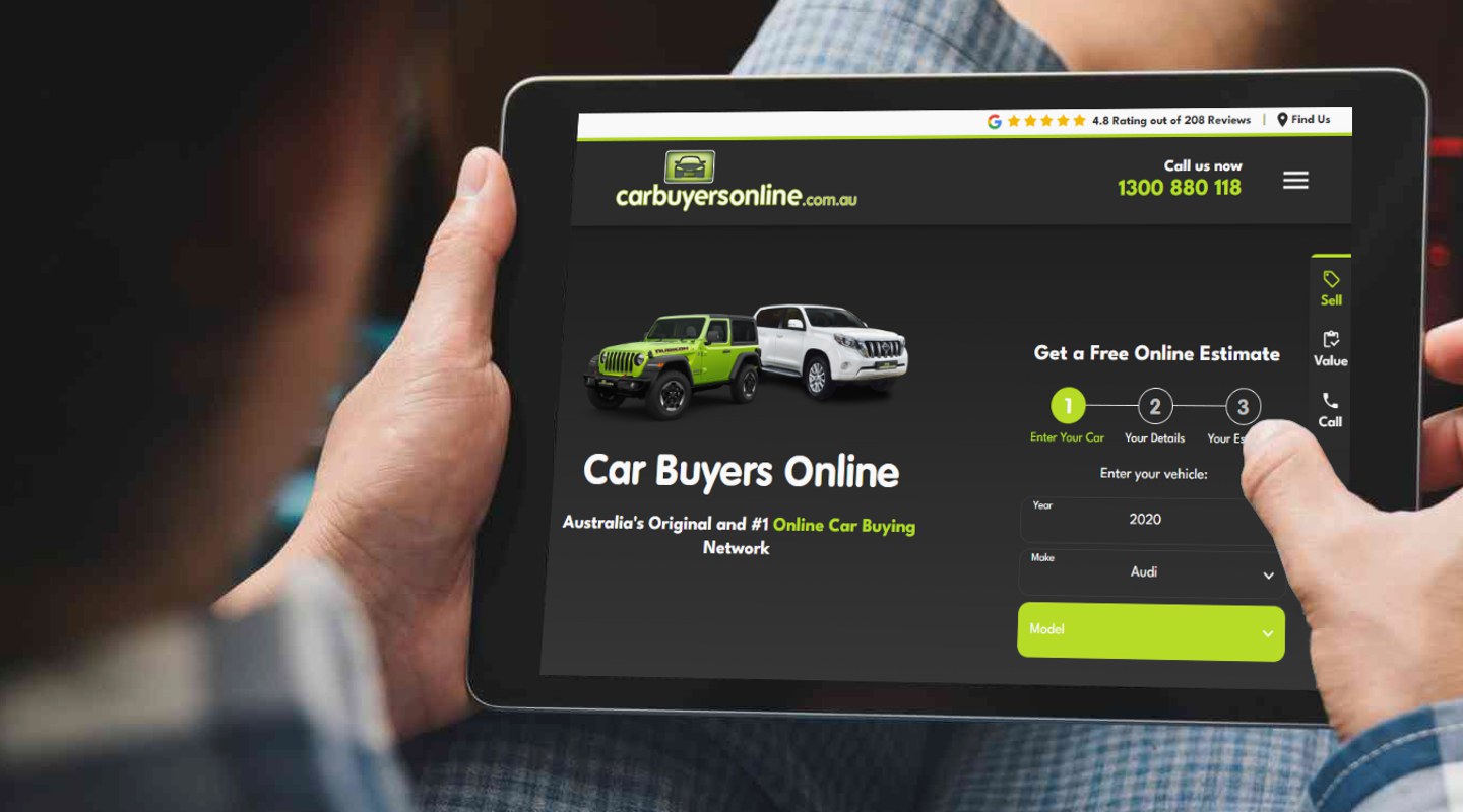
Ready to Sell Your Car?
Sell your car and get a great price with Car Buyers Online! Try our free online estimation tool:
Free Online Estimate